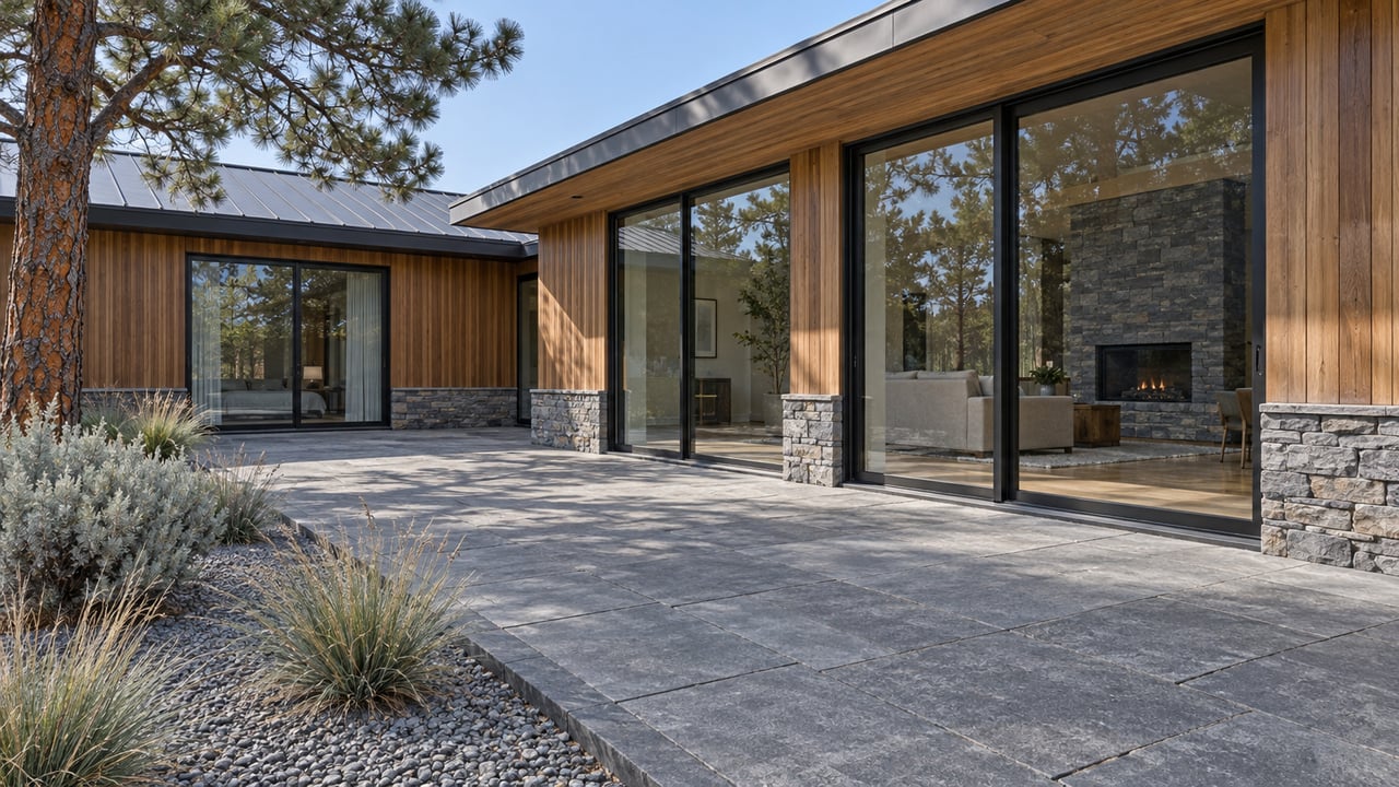
Bend Park & Recreation District has started construction in North Shevlin, the part of Shevlin Park that sits across Shevlin Park Road from the busy trail network most people know. Phase 1 includes new trail, the decommissioning of certain existing trails, and wayfinding signs. The district expects the work to continue through spring 2027.
The refined North Shevlin trail plan presented to the district board in April calls for 1.2 miles of new trail and the closure of 1.8 miles of existing social trails. When it's finished, North Shevlin will have less trail on the ground than it does today, and every mile left will be one the district chose to keep.
For Awbrey Butte, that matters. Shevlin Park is the big park on this side of town, reached by way of Shevlin Park Road. The north half is where the change is happening.
Two halves of one park, used very differently
Shevlin Park covers 964 acres in the northwest corner of the district, and Shevlin Park Road splits it into two sections. According to the district's April board packet, South Shevlin "accommodates the majority park visitors," who come for its extensive trail network and the picnic shelter in Aspen Meadow. South Shevlin carries the park's best-known routes, the 6-mile Loop Trail and the 2.5-mile Tumalo Creek Trail, from the park entrance at 18920 NW Shevlin Park Road.
North Shevlin holds Aspen Hall, the district's rental venue for weddings and gatherings, along with a fishing pond and what the packet calls "limited trails along the west side of Tumalo Creek." The packet also says the north side "has traditionally received significantly fewer visitors than South Shevlin."
That word "traditionally" carries a lot. The quiet reputation is older than the current numbers.
The visitor count that started this
When the district wrote its Shevlin Park Recreation Management Plan in 2015, it focused almost entirely on South Shevlin, where the crowds were. North Shevlin wasn't heavily used then. Its main issue was an unofficial swimming spot near the Tumalo Irrigation District diversion, not trail development or management.
Ten years later, that's no longer true:
| Main North Shevlin trail | Visitors |
|---|---|
| 2015 | 9,877 |
| 2025 | 24,286 |
That's almost two and a half times as many visitors in a decade, on a trail the 2015 plan barely mentioned. The district's packet describes what that traffic left behind: "an unauthorized parking area evolved along Shevlin Park Road and numerous social trails have become established causing erosion and damaging habitat."
So the north side was busy before any construction started. The construction is catching up to it.
Why new neighborhoods mean new trailheads
The growth didn't come out of nowhere, and the packet traces the cause. In 2019, the Westside Transect Zone was adopted along the west side of Shevlin Park. This special zoning district allows low-density residential development next to the park, stepping density down between the city and the park's edge. New development inside the zone must provide public trail access to Shevlin Park in coordination with the district.
The first major development in the zone, Westgate, already has new public trail connections into South Shevlin. Skyline Ranch is a planned development next to North Shevlin with the same access requirement. The packet points out, though, that "the district has no formal trails established in this part of North Shevlin."
That gap set the current work in motion. In response to Skyline Ranch, the district added a planned North Shevlin trail to its 2024 Mid-term Comprehensive Plan Update. Staff then mapped the area in more detail, documenting social trails, spots with recent or ongoing erosion, and what the packet calls "dangerous conditions such as the user-made parking area off Shevlin Park Road."
A new neighborhood will feed people into North Shevlin, people are already arriving through informal paths and a roadside pull-off, and the district would rather decide where those feet go than inherit whatever routes form on their own.
Reading the three numbers
The April board summary describes the refined plan as "formal trail alignments, closure of damaged social trails, and improved access points." Its mileage breaks into three categories, and each one does a different job.
- 1.2 miles of new trail. These are routes the district is building on purpose, where none existed or where informal paths couldn't hold up.
- 1.8 miles of social trail closed. These are informal paths worn in by use. Staff connected them to erosion and habitat damage.
- 1.1 miles of existing trail repurposed. These stay on the ground but take on a new role in the formal network.
Counting all three, the north side will have about 2.3 miles of formal trail once the plan is complete. Today it has the 1.1 miles being kept plus the 1.8 miles of social trail that will close. In trail-mileage terms, the project shrinks North Shevlin while making it easier to follow, and that's what the wayfinding signs in Phase 1 are for.
The district calls this a multi-year project to be finished in phases "as funding becomes available." Phase 1 is what's underway now. Later phases follow as money allows.
The bridge near Aspen Hall
The biggest single piece of the plan isn't under construction yet. The district's October update says it is "currently preparing a scope of work for design and construction of the planned trail bridge near Aspen Hall to provide enhanced access across Tumalo Creek to the northeast portion of Shevlin Park."
A scope of work comes before design, and design comes before construction, so no build date or opening date has been announced. Once it's built, the bridge would give the northeast part of the park a Tumalo Creek crossing near Aspen Hall.
The district has also been fixing older routes by hand. This summer, KTVZ reported that 16 volunteers dug out an old trail at the far end of Shevlin Park to reconnect Tumalo Creek with a picnic area. KTVZ said the trail still needed gravel resurfacing before it opened to the public, and quoted Trails Supervisor Andy Sommerville describing the goal as opening "our public spaces for better access for all."
Using the park while the work continues
Phase 1 runs through the winter, so the next several months of Shevlin visits will overlap with construction on the north side. A few district rules shape what a winter outing looks like.
- Shevlin closes at dusk. The district allows cross-country skiing and snowshoeing by moonlight or headlamp in most parks until 10 p.m., but Shevlin Park and Riley Ranch Nature Reserve are excluded. On short December days, plan for an early-afternoon finish.
- Nothing at Shevlin is groomed. The district lists Shevlin Park as good for cross-country skiing and snowshoeing when there's enough snow, because its surfaces are fairly level and connect to the U.S. Forest Service trail system. Skyline Sports Complex is the only district site that gets groomed.
- The approach trail is on the plow list. After a snow event of 2 inches or more, and once facilities, parking lots and rights-of-way are done, crews work through a list of priority trails as staffing allows. That list includes the Discovery Trail from McClain Drive to Shevlin Park. Shevlin's own trails aren't on it.
- Aspen Hall shares its parking. The rental listing says parking is shared with Shevlin Park, trail and facility users. The hall's posted open-house dates include Nov. 4, Nov. 24 and Dec. 22.
The plan's "improved access points" come out of the same survey that flagged the user-made parking area off Shevlin Park Road as dangerous. Phase 1 combines trail decommissioning with new wayfinding signs, so the formal routes will be signed while the informal ones are closed.
If Shevlin is part of your fall routine, our Awbrey Butte fall playbook covers the larch window at Shevlin. Our microclimates guide explains how slope and orientation on Awbrey Butte affect sun and snow.
At Bend Living, we follow projects like North Shevlin because the parks and trails near your home change over time, and those changes matter when you decide where to live in Bend. If you want to know how the trail plans near Awbrey Butte could affect your street, David is glad to talk it through. Schedule a Consultation.